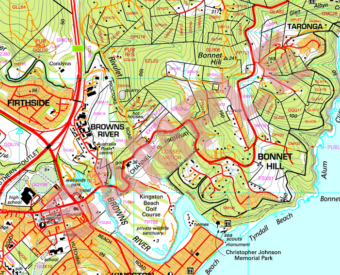
Cadastral maps display the spatial descriptions of land-parcel boundaries that define the location, shape and size of land parcels within the context of a regional or national geodetic positioning system. They also contain a unique parcel identifier to establish the link to the land-ownership information. When maintained in a real-time manner, cadastral maps can serve as the base for a reliable property rights system.
This Particular map that I have included is a hybrid of a cadastral map and a topographic map. All of the same characteristics stated above regard this hybrid map.
https://www.tasmap.tas.gov.au/upload/images/Samples/25k.jpg
No comments:
Post a Comment